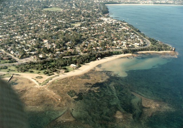
Late 1980s Watkins Bay - Table Rock Point - Ricketts Point, Beaumaris
ID: 19689
Creator: Sandringham City Council
Copyright: library owns image (image on public access)
Org ID: 1aerial10
Description: Colour photograph, 12.5 x 17.5cm. This aerial photograph shows very clearly the under water rock shelf and deeper rock formations in Watkins Bay between Table Rock Point and Ricketts Point.
Subject: aerial views
Please Contact:
Bayside Library Service
Image held by Bayside Library Service
14 Wilson Street, Brighton, Victoria
Australia 3186
ph: 03 9591-5900
email: baysidelibrary@bayside.vic.gov.au
web: www.bayside.vic.gov.au/library
|